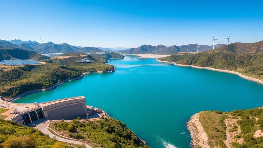
We utilize several key tools to map hydro energy potential, including Geographic Information Systems (GIS), which integrate various data layers such as topography, hydrology, and land use. Additionally, hydrological modeling techniques like HEC-RAS and SWAT enable us to simulate river flow and sediment transport, offering insights into watershed dynamics. Remote sensing technologies, including LiDAR and satellite imagery, further enhance our capacity to identify suitable sites by analyzing land characteristics and water flow patterns. Collectively, these tools allow us to estimate the U.S. Department of Energy’s technical potential for new hydropower, approximately 85 GW from new stream-reach development, while ensuring informed project development and stakeholder engagement. As of 2026, the U.S. already operates about 79.9 GW of conventional hydroelectric capacity plus roughly 23.2 GW of pumped-storage capacity, according to the U.S. Energy Information Administration (EIA). More insights await.
Key Takeaways
- The National Hydropower Map provides essential geospatial data on existing hydropower assets and technical potential across the U.S.
- HydroGIS analyzes hydropower resources and integrates data for better site selection and decision-making.
- EPA Contaminated Lands Renewable Potential Map visualizes opportunities for hydropower on disturbed lands.
- Remote sensing technologies like LiDAR and satellite imagery aid in identifying viable hydropower locations.
- Hydrological modeling tools, such as HEC-RAS and SWAT, predict river flow patterns and assess water availability for energy potential.
- As of 2026, U.S. conventional hydropower capacity totals roughly 79.9 GW, with an additional 23.2 GW of pumped storage, per EIA data.
Overview of Hydro Energy Mapping Tools
You may be interested

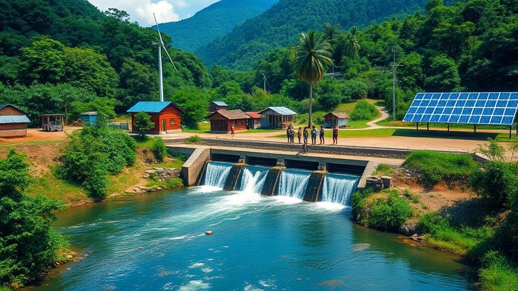
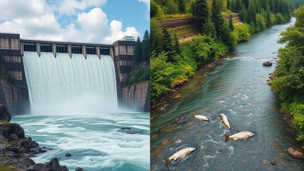
When we think about the potential for hydro energy, it’s essential to take into account the variety of mapping tools available to us. The National Hydropower Map provides vital geospatial data, highlighting existing hydropower capacity across the U.S., including ownership and location details for better resource assessment. DOE’s geospatial analysis estimates the technical potential for new hydropower opportunities in U.S. rivers and streams at around 85 GW capacity, on top of the roughly 79.9 GW of conventional hydro already installed as of 2026. The HydroGIS service enhances our understanding by offering accumulated data on hydropower assets, aiding developers and regulators in informed decision-making regarding project siting. Additionally, the EPA Contaminated Lands Renewable Potential Map visualizes renewable energy opportunities, identifying suitable sites for hydropower development and allowing us to maximize our energy potential effectively. Readers interested in how these numbers compare to other renewables may also find our comparison of green energy and fossil fuel prices useful context.
Geographic Information Systems (GIS)

In recent years, Geographic Information Systems (GIS) have become indispensable tools for mapping hydro energy potential. By integrating various data layers, such as topography, hydrology, and land use, GIS enables us to identify suitable sites for hydropower development. DOE’s geospatial resource assessments reveal approximately 85 GW of technical potential capacity for new hydropower opportunities in U.S. rivers and streams. The National Hydropower Map, developed with GIS technology, catalogs existing hydropower assets, facilitating informed decision-making among stakeholders. In addition, GIS overlays environmental and regulatory constraints, allowing us to evaluate the practical potential of projects through a thorough lens.
| Aspect | Description |
|---|---|
| Data Layers | Topography, hydrology, land use |
| Technical Resource Potential (new sites) | Approximately 85 GW, per DOE |
| Existing U.S. Conventional Hydro Capacity | Approximately 79.9 GW (2026, EIA) |
| Existing U.S. Pumped-Storage Capacity | Approximately 23.2 GW (2026, EIA) |
| Collaborative Efficiency | Visual representation for stakeholder discussions |
Hydrological Modeling Techniques
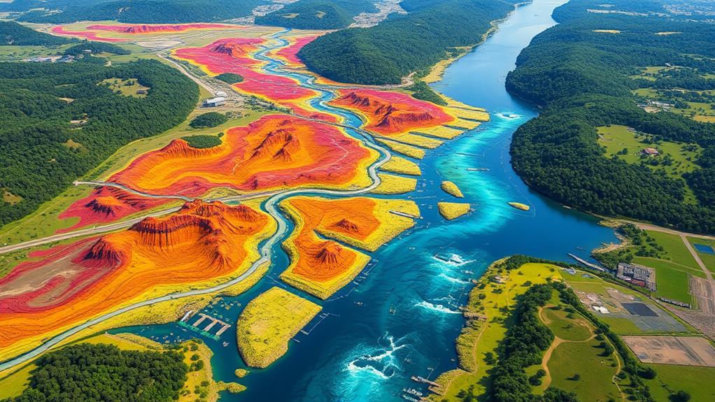
Hydrological modeling techniques play an essential role in our understanding of river systems and their potential for hydropower generation. By employing computer simulations, we can predict river flow patterns, sediment transport, and water availability—factors critical for evaluating hydropower potential. Tools like HEC-RAS and SWAT allow us to conduct detailed analyses of watershed behavior and hydrodynamics. These models integrate various inputs, such as precipitation data, land use, and soil characteristics, to forecast water flow and its seasonal variability accurately. Additionally, advanced geospatial data enhances our modeling efforts, providing high-resolution terrain and land cover information, which improves the precision of our water resource evaluations. Finally, through calibration and validation against observed data, we guarantee our predictions of energy potential are reliable for hydropower development. Anyone weighing hydropower feasibility against other options may also want to review a cost-benefit analysis of green energy before committing project budgets.
Remote Sensing Technologies
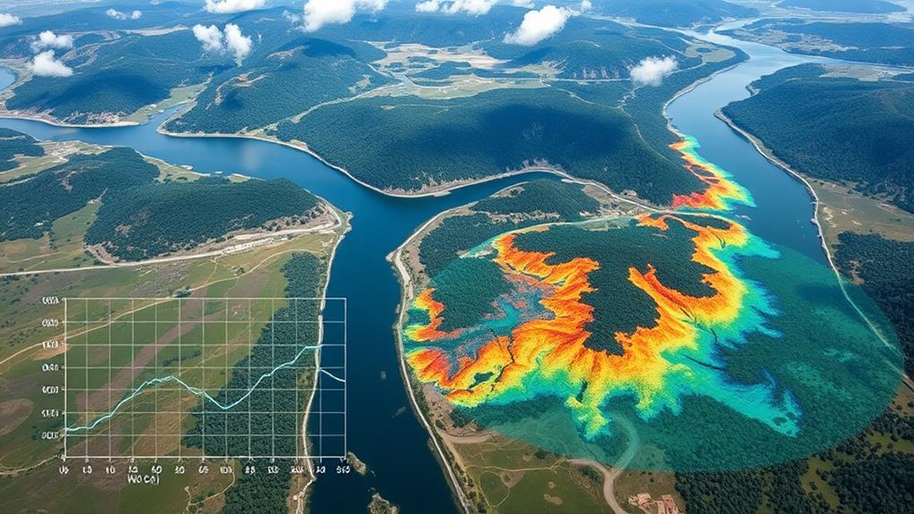
Utilizing remote sensing technologies has revolutionized how we assess hydropower potential across diverse landscapes. By harnessing tools like satellite imagery and aerial surveys, we can analyze land use, topography, and water flow patterns over vast areas, which is vital for identifying viable sites. LiDAR technology plays a pivotal role, enabling us to create high-resolution digital elevation models that help evaluate river morphology and potential dam locations. Additionally, multispectral and hyperspectral imaging allows us to assess vegetation cover and land characteristics that influence water availability. Integrating this remote sensing data with Geographic Information Systems (GIS) enhances our spatial analysis capabilities, facilitating accurate assessments of water quality and quantity while considering the environmental impact of proposed hydropower projects.
Stakeholder Engagement Strategies
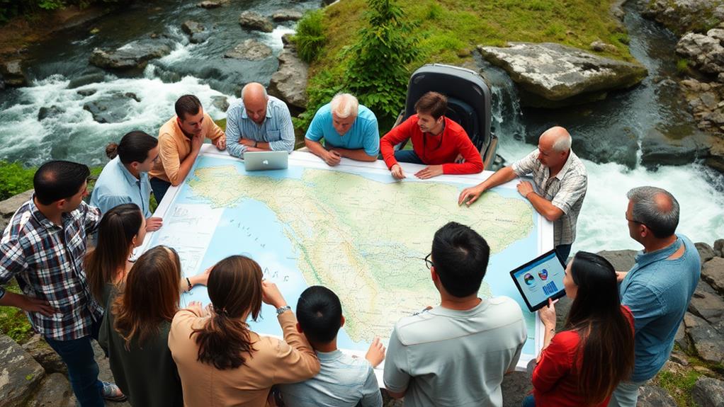
The successful implementation of hydropower projects depends not just on technological advancements like remote sensing but also on engaging stakeholders throughout the process. By prioritizing stakeholder engagement early on, we foster collaborative decision-making that includes diverse perspectives, ultimately leading to more sustainable outcomes. Regular communication with local communities, regulatory agencies, and environmental groups is essential for addressing concerns and building trust, which can facilitate smoother permitting processes and project acceptance. Utilizing stakeholder workshops and public meetings enhances transparency, allowing us to gather valuable input that aligns energy solutions with community needs. Additionally, implementing feedback mechanisms, such as surveys and focus groups, enables stakeholders to voice their opinions, improving project responsiveness and adaptability throughout its lifecycle.
Environmental Assessment Tools
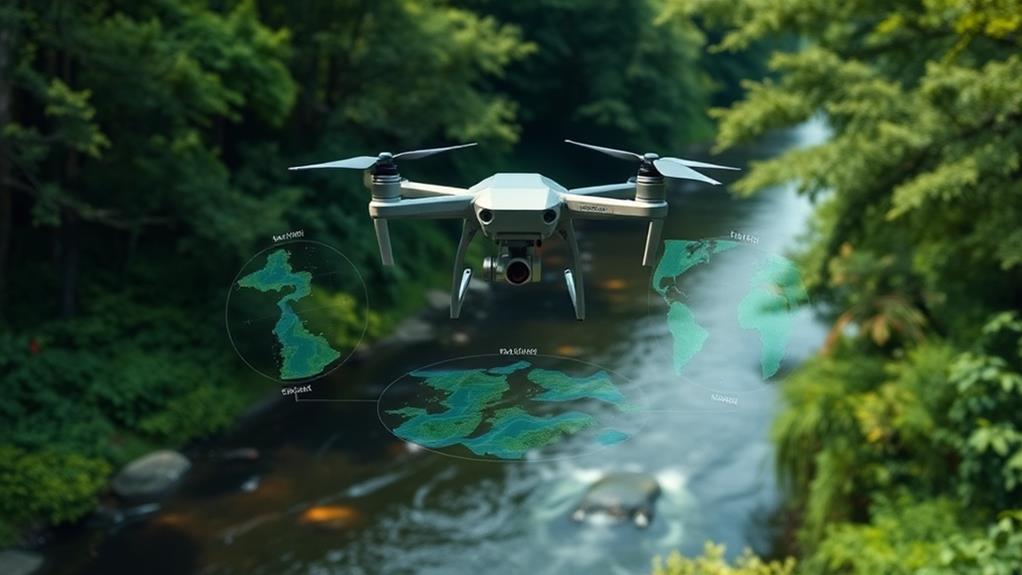
As we explore the critical role of environmental assessment tools in hydropower development, it is crucial to recognize how geospatial data informs our understanding of potential impacts on aquatic ecosystems. These assessments, which include Environmental Impact Assessments (EIAs) and regulatory compliance tools, enable us to identify suitable sites for new projects while safeguarding local wildlife and habitats. By leveraging advanced geospatial analytics, we can generate extensive reports that not only facilitate informed decision-making but also help balance energy production with ecological sustainability. Those researching the ecological trade-offs of dam-based generation may find our overview of the environmental impact of hydroelectric dams a helpful companion read.
Geospatial Data Utilization
Geospatial data considerably enhances our ability to assess hydropower potential by offering detailed insights into river flows, elevations, and land use. By leveraging advanced geospatial mapping techniques, DOE estimates the theoretical and technical potential of new stream-reach development at over 85 GW of capacity in U.S. rivers and streams. The National Hydropower Map plays an essential role in this process, integrating geospatial data to catalog existing hydropower assets, showcasing capacity by ownership and location. In addition, utilizing tools like HydroGIS allows us to investigate accumulated data on hydropower resources, enhancing our understanding of environmental considerations and regulatory needs in site selection. Also, state-specific methodologies provide tailored insights into local hydropower opportunities, enriching our collective knowledge.
Environmental Impact Assessments
Evaluating hydropower potential with geospatial data is just the beginning; we must also consider the environmental implications of our projects. Environmental impact assessments (EIAs) are essential tools in this process, as they help us evaluate the potential effects of hydropower projects on local ecosystems, water quality, and biodiversity before development begins. These assessments involve a thorough review of environmental, social, and economic factors, ensuring that we minimize negative impacts while maximizing benefits. Utilizing advanced modeling tools like GIS (Geographic Information Systems) allows us to visualize spatial relationships between hydropower sites and sensitive areas. Ultimately, the results of EIAs can influence project design, leading to modifications that enhance sustainability, such as implementing fish passage solutions to protect crucial aquatic wildlife.
Regulatory Compliance Tools
How can we guarantee our hydropower projects meet environmental regulations while also benefiting local communities? To achieve this, we must utilize robust regulatory compliance tools that facilitate thorough environmental assessments. These tools not only evaluate potential impacts on fish populations, water quality, and habitat disruption but also incorporate geospatial mapping functionalities, allowing us to visualize sensitive areas that hydropower development may affect. By engaging stakeholders early in the planning process, we can address community concerns and foster collaboration with local organizations. Additionally, resources like the National Hydropower Map provide crucial data on existing sites and their compliance status, helping us identify new opportunities that align with regulatory requirements while prioritizing environmental stewardship and community welfare.
Data Integration and Analysis
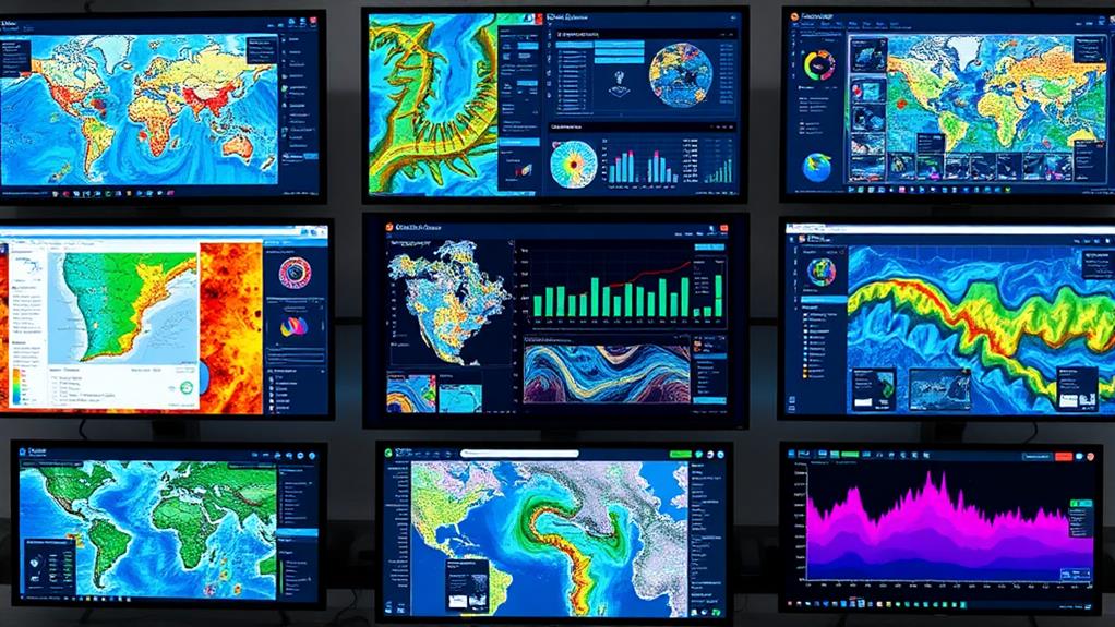
Integrating diverse data sets is essential for harnessing the full potential of hydropower resources. By employing advanced geospatial data analysis, we can evaluate new opportunities in U.S. rivers and streams, with DOE estimating a remarkable technical resource potential of 85 GW capacity for new development. The National Hydropower Map plays a crucial role in this process, integrating existing hydropower capacity data to showcase ownership and location, which aids developers and regulators in making informed decisions. Through data integration, we achieve thorough resource assessments that enhance the accuracy of our evaluations. Additionally, HydroGIS, a geospatial database developed by Oak Ridge National Laboratory (ORNL), catalogs hydropower assets, providing critical data for optimizing site selection and project planning. Mapping resources also allow for external analysis, enabling further exploration of hydropower potential across various geographical contexts. Teams estimating project costs during this phase may also want to reference a renewable energy project budget template to structure planning spend.
Case Studies and Applications
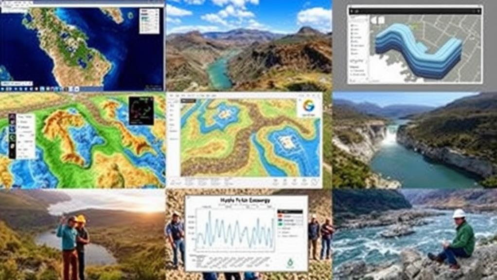
There’s no doubt that real-world case studies can illuminate the practical applications of hydropower mapping tools. For instance, the National Hydropower Map employs advanced geospatial data to highlight existing hydropower assets and potential sites across the U.S., greatly aiding in decision-making for energy projects. In addition, the ORNL-developed geospatial database catalogs current hydropower capacity, allowing us to identify underutilized resources effectively, including thousands of existing non-powered dams that could be retrofitted for generation. The EPA Contaminated Lands Renewable Potential Map identifies renewable potential on previously disturbed lands, advocating for sustainable land use practices. Meanwhile, HydroGIS provides thorough data access, supporting developers and regulators in informed siting decisions. Collectively, these tools empower stakeholders to harness hydropower’s renewable potential, facilitating strategic planning and optimizing energy project developments.
Frequently Asked Questions
What Is the Potential for Hydropower in the U.S.?
The U.S. already operates roughly 79.9 GW of conventional hydroelectric capacity plus about 23.2 GW of pumped storage as of 2026, according to the EIA. Beyond that, DOE’s New Stream-reach Development assessment identifies about 85 GW of additional technical potential, and ORNL research has separately catalogued substantial untapped capacity at the tens of thousands of existing non-powered dams across the country. Together, we can explore this capacity while considering renewable resources, site assessment, environmental impact, and energy forecasting for a sustainable future.
How Does Hydropower Use Potential Energy?
When we explore how hydropower uses potential energy, we must consider turbine efficiency, reservoir capacity, flow rate, and site assessment while being mindful of the environmental impact, ensuring our energy solutions benefit both us and nature.
What Is Energy Mapping?
As the saying goes, “a picture’s worth a thousand words.” Energy mapping uses hydrological data and geographic analysis for resource assessment, considering environmental impact, helping us understand potential energy sources and their sustainable development together.
What Are the Potential Benefits of Using Hydro Energy?
When we consider the potential benefits of hydro energy, we see its positive environmental impact, economic advantages, energy independence, job creation, and the technological innovations driving this sustainable resource. Together, we can embrace a greener future.
How Does U.S. Hydropower Compare to Other Renewables?
Hydropower remains one of the largest sources of renewable electricity in the U.S., with EIA data showing roughly 79.9 GW of conventional capacity operating alongside growing wind and solar fleets. Readers weighing hydropower against rooftop solar for their own property may find our guide on residential solar panel installation costs useful for comparison.